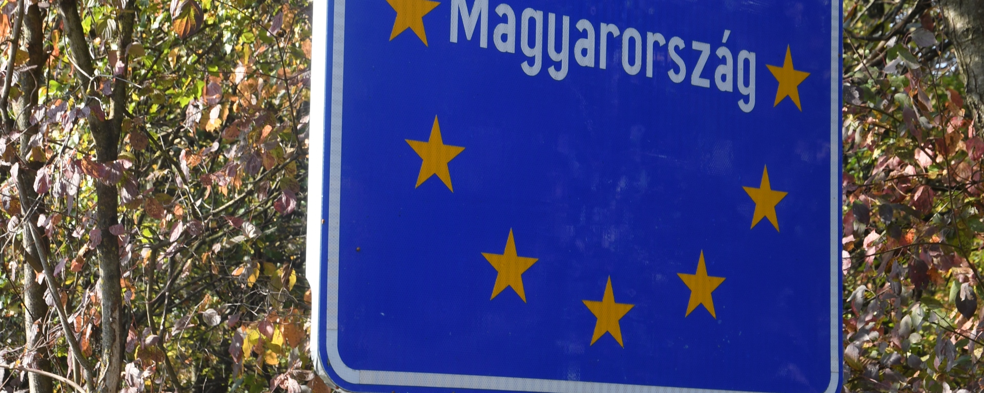
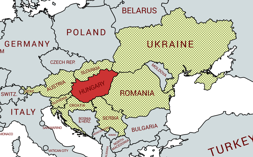
Hungary is a landlocked country in East-Central Europe with a land area of 93,030 square km. It is the 18th largest country in Europe It measures about 250 km from north to south and 524 km from east to west. It has 2,106 km of boundaries, shared with Austria to the west, Serbia, Croatia and Slovenia to the south and southwest, Romania to the southeast, Ukraine to the northeast, and Slovakia to the north. The major rivers in the country are the Danube and Tisza.
Hungary is a member of several international organisations, including the UN, NATO and the EU. Due to Hungary’s accession to the Schengen Treaty, the Police and Border Guards were merged into a single national corps, with the Border Guards becoming Police Officers. This merger took place in January 2008. The Customs and Excise Authority remained subject to the Ministry of Finance under the National Tax and Customs Administration.
Border Facts:
1) The Hungary -Austria border is 355 km. The border is situated in the northwestern section of the country. One of the important natural features along the border between the two nations is Lake Neusiedl.
This border was established for the first time in 1921, after the fall of the Austro-Hungarian Empire. Austrians and Hungarians, fraternal rivals over the previous four centuries, ended up being the two big losing parties of the war. Austria wished to compensate its losses (Bohemia-Moravia, Galicia, Slovenia, Southern Tyrol) at the expense of Hungary, and the latter was unwilling to cede territory (the future Burgenland) even to its western neighbour, after having lost more than two thirds of its territory. In the end, Hungary managed to conduct a plebiscite on the area surrounding the town of Sopron, where a majority (despite being Germanophone) voted for Hungary in December 1921. The outcome of this referendum with the historic town of Sopron staying in Hungary restored good relations between the 2 countries and the border has remained unchanged since then.
The integration of Hungary into the Eastern Bloc in 1949 turned this border into a section of the Iron Curtain. From this point onwards, the border was essentially materialised by barbed wire and watchtowers. In 1989, this was the first border to be dismantled following the Pan European Picnic.
2) The Hungary – Slovenia border is 101 km long. The border is situated on the western edge of the country, and like the rest of Hungary’s borders, it was determined after the First World War. On the Hungarian side of the border, there are several important towns such as Redics and Csesztreg. Due to their proximity, Slovenia and Hungary have a unique relationship. Demographic estimates indicate there are nearly 3,000 ethnic Slovenes in Hungary while nearly 7,700 ethnic Hungarians make their home in Slovenia.
3) The Hungary – Croatia border is roughly 348 km long and is situated in Hungary’s southwestern section. The Drava River forms a significant portion of the boundary between Croatia and Hungary. Hungary built a border barrier on its border with Croatia
4) The Hungary – Serbia border is approximately 164 km long and is situated in the southern section of the country. Hungary built a border barrier on its border with Serbia. The fence was constructed during the European migrant crisis, with the aim to ensure border security by preventing illegal immigrants from entering, and enabling the option to enter through official checkpoints and claim asylum in Hungary in accordance with international and European law. The number of illegal entries to Hungary declined greatly after the barrier was finished as it effectively abolished the access to asylum in Hungary.
5) The Hungary – Romania border is approximately 613 km long. The land border consists of two parts: the northern part stretches across Carpathian Mountains region roughly west–east from the Hungary-Romania-Ukraine tripoint to the northern Moldova-Romania-Ukraine tripoint. It starts along the Tisza River (through Maramureș) and runs across the historical region of Bukovina in the Eastern Carpathians. The southern part stretches between Budjak and Dobrudja regions roughly west–east from the southern Moldova-Romania-Ukraine tripoint to the maritime Romania-Ukraine boundary. It runs along the Danube River to the Black Sea.
6) The Hungary – Ukraine border is roughly 103 km long and is located in the Tisza river valley Northeastern region of the country.
7) The Hungary – Slovakia border is 677 km long and begins in the west at the ATHUSK tripoint formed by the Hungarian, Slovak and Austrian borders. The border is demarcated by the river Danube for nearly 150 km. The border continues to the east, alongside the river Tisza and finishes at the HUSKUA tripoint. From 1945, after the 1920 border was re-established population transfers occurred with Hungarian speaking communities moving westward towards the Sudetenland which in turn had been depopulated with communities moving to Germany. Since 1990 minority rights have been respected much more.
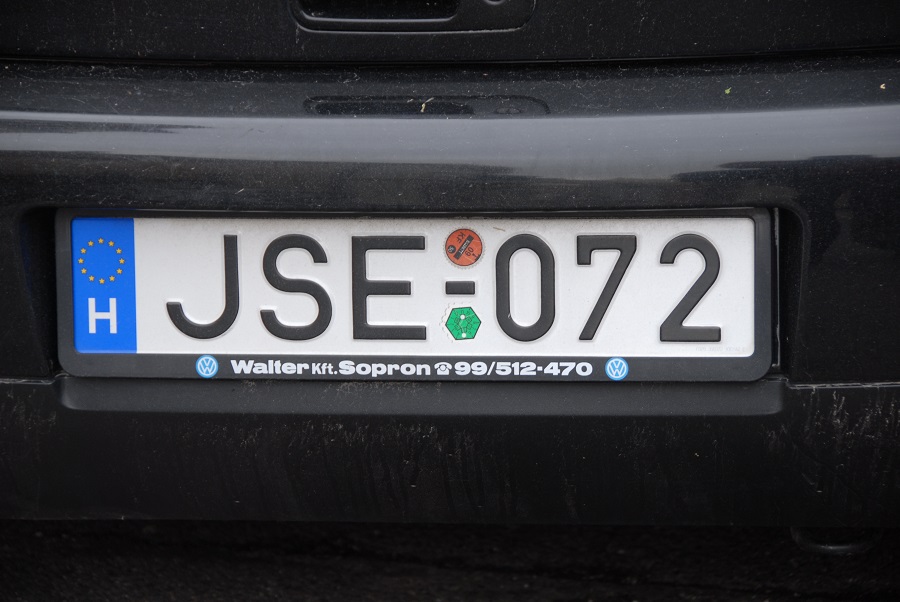
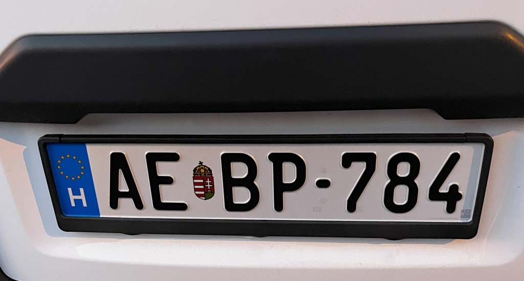
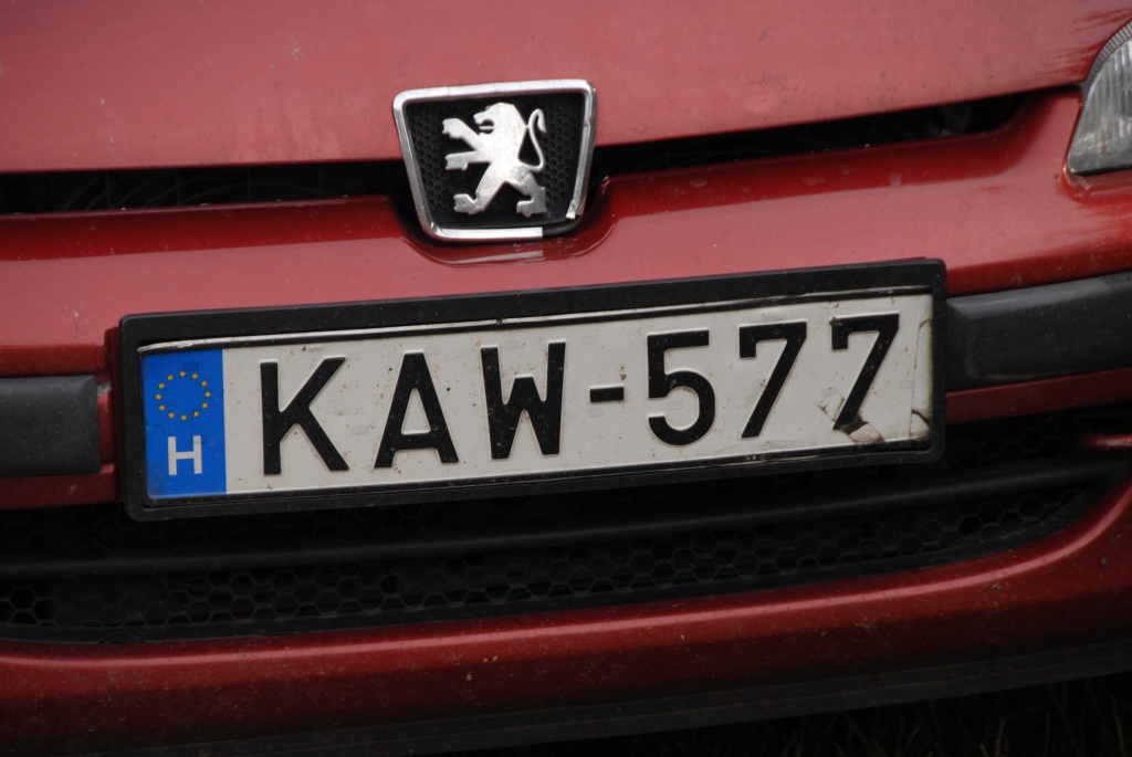
Hungarian Registration Plates
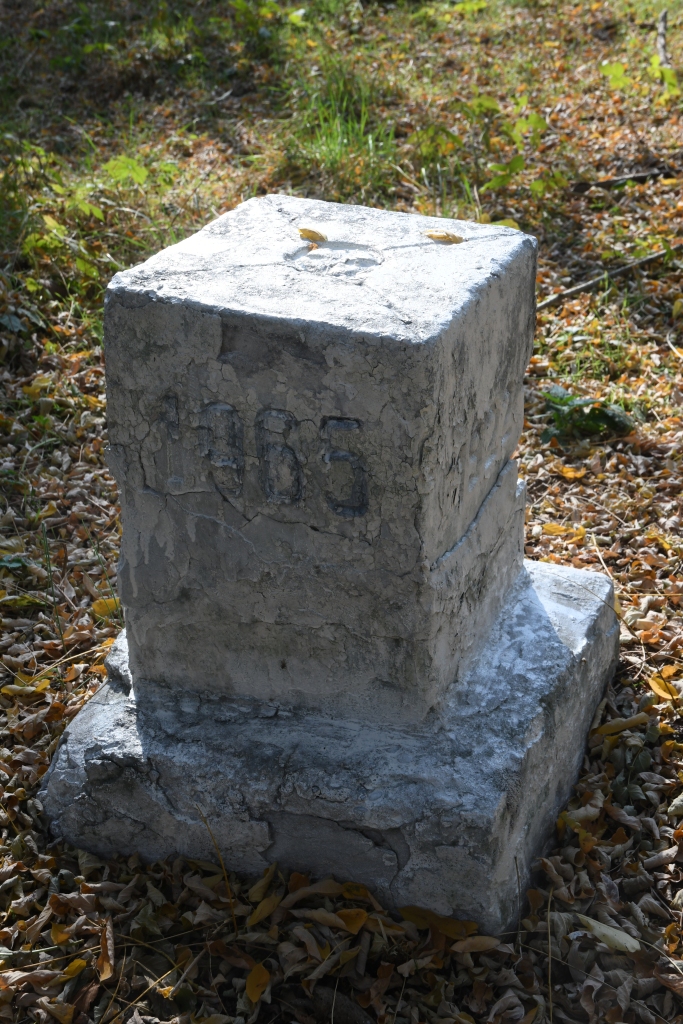
Hungarian Tripoints
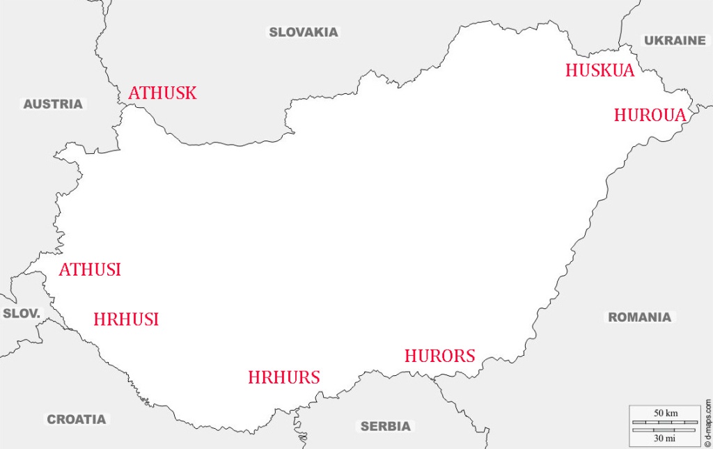
| Number | Name | Countries | Type | Coordinates | Links |
|---|---|---|---|---|---|
| 1 | ATHUSI | Austria-Hungary-Slovenia | Dry | 46° 52′ 9″ N 16° 6′ 49″ E | Hering (2001) Palmberg (2001) |
| 2 | ATHUSK | Austria-Hungary-Slovakia | Dry | 48° 0′ 24″ N, 17° 9′ 38″ E | Hering (2001) Palmberg (2001) The Lady Travels (2017) |
| 3 | HRHUSI | Croatia- Hungary-Slovenia | Wet | 46° 28′ 0″ N 16° 37′ 0″ E | Palmberg (2002) |
| 4 | HRHURS | Croatia – Hungary-Serbia | Wet | 45° 55′ 0″ N 18° 54′ 0″ E | Palmberg (2002) |
| 5 | HURORS | Hungary – Romania -Serbia | Dry | 46° 7′ 0″ N 20° 15′ 0″ E | Hering (2002) Palmberg (2002)(2005) |
| 6 | HUROUA | Hungary – Romania – Ukraine | Wet | 47° 57′ 16″ N 22° 53′ 50″ E | Hering (2002) Palmberg (2002) |
| 7 | HUSKUA | Hungary – Slovakia -Ukraine | Wet | 48°24’12″N 22°9’13″E | Hering (2002) Palmberg (2002) |
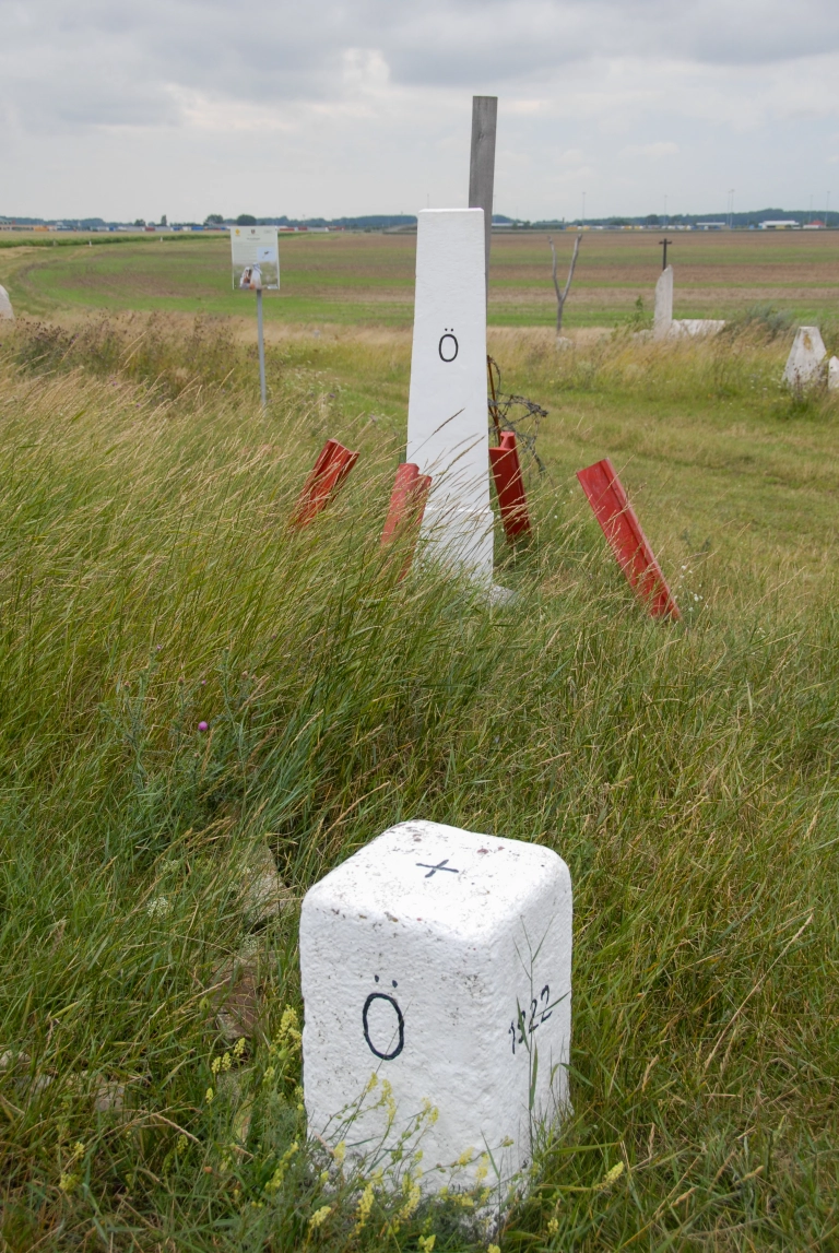
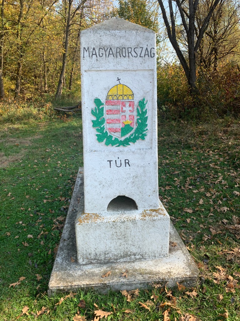
Tripoint Gallery
Click on the images below to access the tripoint visit report.
Site Navigation
In order to find your way around the site, either click on the links (text in red) or use the menus at the top of the page. About leads you to the country pages, with links to individual borders. The European Tripoints menu leads you to my visit reports.

Mobile Users Advice
Tables display correctly when holding your mobile horizontally.
To access the links to other pages please click on the 3 horizontal dots at the bottom of the page.